The Golden Gate
The Bay's only door to the ocean wasn't always here. A fault opened it, and the sea came through.
The Golden Gate straitAbout 130,000 years ago to today
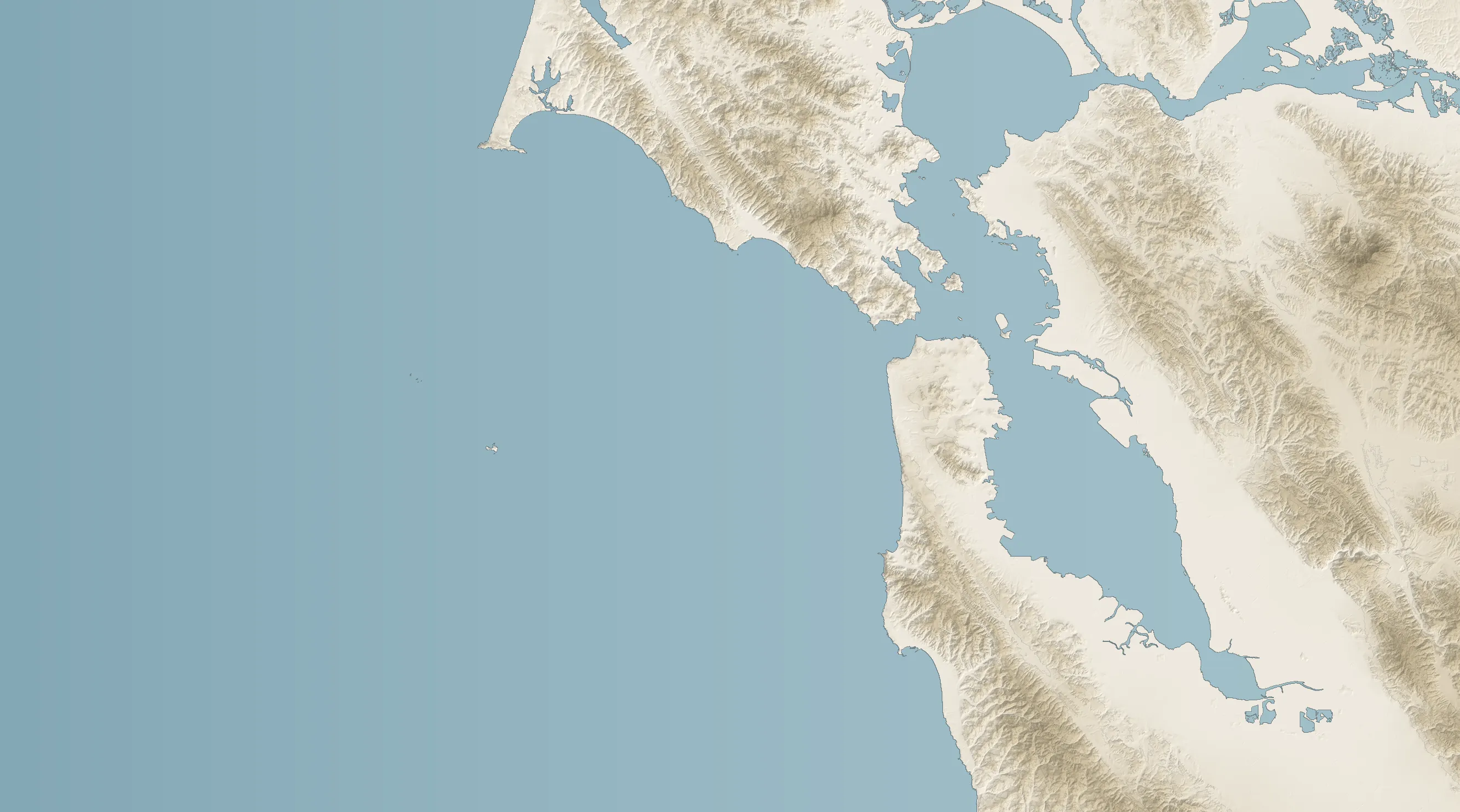
Turn the landscape, drain the Bay, and open 6 stories.
Your browser can't show the 3D view, so the stories are below instead.
Stand on the bluffs at Lands End and look north. About a mile of moving water separates San Francisco from the Marin Headlands, and every tide pushes the Pacific in or pulls the Bay back out through this one gap. It is the only door between the Bay and the ocean.
It was not always the door. For hundreds of thousands of years, the rivers draining into the Bay’s valley left by a different route, south through a low gap near what is now Colma. Then the San Andreas Fault did what it always does and moved the land sideways. Somewhere between 75,000 and 130,000 years ago, the southern tip of the Point Reyes Peninsula slid far enough northwest to uncover a notch in the bedrock. The water found it. Geologists today call that notch the Golden Gate.
During the last ice age there was no bay at all. The ocean stood far lower, and the Sacramento and San Joaquin rivers ran through the Golden Gate in a valley and on toward a coastline well to the west of today’s.
When the ice melted, the sea came back. It reached the Golden Gate between 10,000 and 11,000 years ago and poured into the valley behind it, spreading across low ground as fast as 30 meters a year. Around 8,000 years ago the rise began to slow, and by 6,000 years ago it was about a tenth as fast. The valley had become a bay.
The people who lived beside the strait were the Ohlone, to the south, and the Coast Miwok, to the north. Ohlone villages stood where Crissy Field and Fort Mason are now.
Europeans were slow to find the gap. A Spanish land expedition under Gaspar de Portolá first saw the Bay in 1769, and on August 5, 1775, Juan Manuel de Ayala brought the supply ship San Carlos through the strait, the first known ship to sail in. The name came more than seventy years later, from the American explorer John C. Frémont, who called it Chrysopylae: the Golden Gate, after the Golden Horn of Byzantium. It was never about gold.
Look closer
The numbered points in the 3D view.
01
The old way out
For hundreds of thousands of years, the rivers that fill the Bay left by another route, south through a low gap near today's Colma. Only when that gap squeezed shut did the water need a new exit.
Source 102
A fault opens the door
Between about 75,000 and 130,000 years ago, Duxbury Point, at the southern tip of the Point Reyes Peninsula, slid far enough northwest along the San Andreas Fault to uncover a notch in the bedrock. That notch is the Golden Gate.
Source 103
A valley, then a sea
When the last ice age ended, the rising ocean reached the Golden Gate 10,000 to 11,000 years ago. It spread across the valley floor as fast as 30 meters a year, then slowed about tenfold between 8,000 and 6,000 years ago.
Source 204
Two peoples, one strait
South of the Golden Gate is the homeland of the Ohlone; north of it, the Coast Miwok. Ohlone villages stood at what are now Crissy Field and Fort Mason, and Coast Miwok camps near Horseshoe Cove in Marin.
Source 305
The first ship through
Juan Manuel de Ayala sailed the Spanish supply ship San Carlos through the strait on August 5, 1775, the first known ship to enter the Bay. A land expedition led by Gaspar de Portolá had first seen the Bay six years earlier.
Source 406
Named for Byzantium
John C. Frémont called the strait Chrysopylae, the Golden Gate, after Byzantium's harbor, the Golden Horn. The name first appeared in his memoir to the U.S. Senate in 1848. It was never about gold.
Source 6
Connected stories
- EventsBuilding the Golden Gate Bridge In production
- GeographyThe San Andreas Fault In production
- GeographyAngel Island In production
Sources
- 1.Late Cenozoic paleogeographic reconstruction of the San Francisco Bay area, U.S. Geological Survey
- 2.Late Quaternary depositional history, Holocene sea-level changes, and vertical crustal movement, southern San Francisco Bay (Professional Paper 1014, 1977), U.S. Geological Survey
- 3.Ohlones and Coast Miwoks, National Park Service, Golden Gate National Recreation Area
- 4.Juan de Ayala, Wikipedia
- 5.Discovery of San Francisco Bay, Sausalito Historical Society
- 6.What's in a Name, Golden Gate Bridge, Highway and Transportation District
- 7.Sea Level and Climate (Fact Sheet 002-00), U.S. Geological Survey